New Feature: Satellite Maps
Last week, we were out with the boys looking for a new place to take them. We had our eyes set on a park in downtown Fort Wayne. The park itself spanned several things, an amphitheater, a river, splash pad, and more. I could not for the life of me figure out where the playground was.
This required me to exit Sproutings and open a different mapping tool. I was able to use satellite imagery to locate the playground and get on with the outing. This experience made me realize just how important satellite maps is as an outing planning tool.
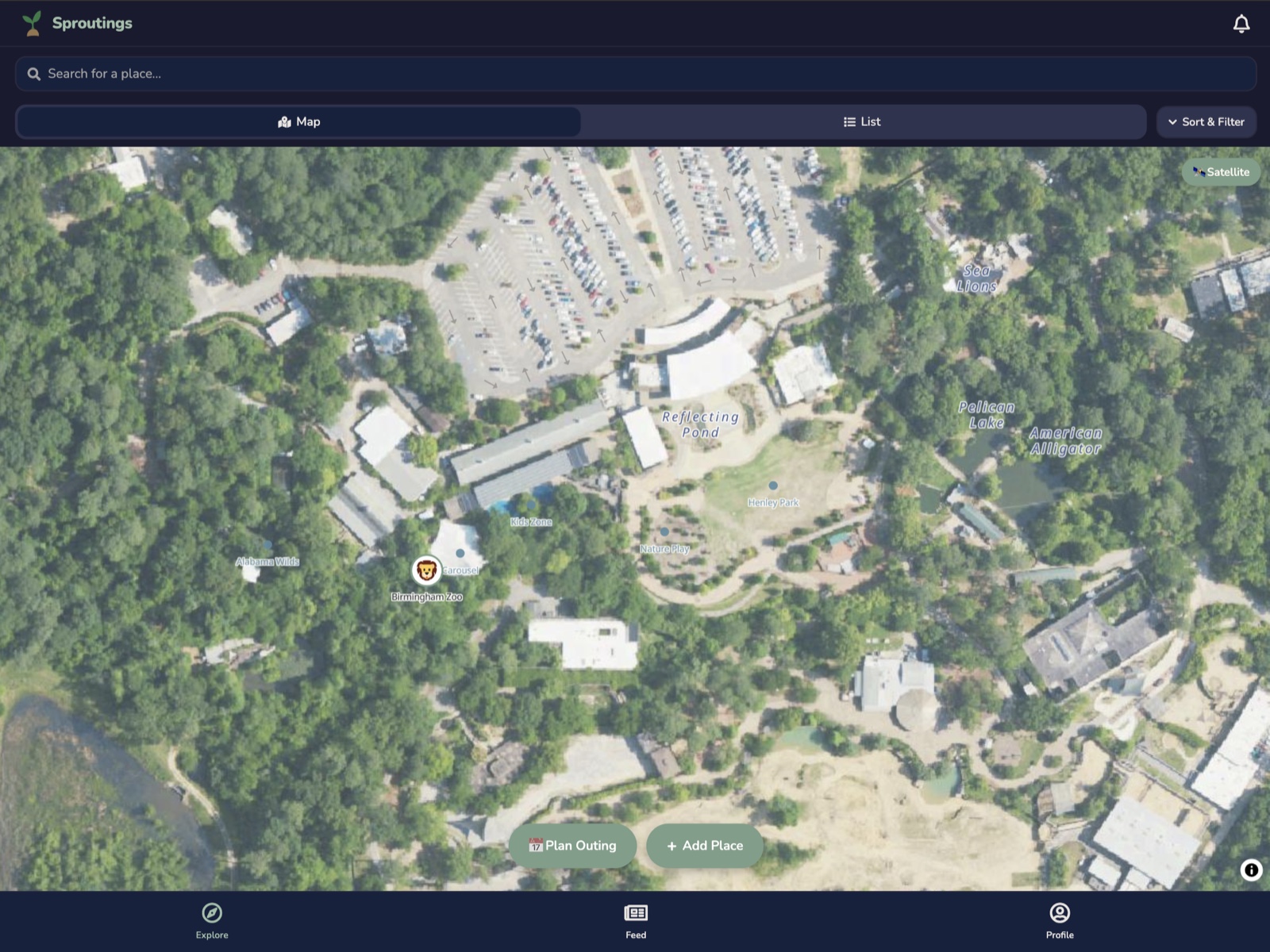
With version 1.0.8, Sproutings now has access to satellite imagery. You can easily toggle it right on the map. Now you can find that playground and parking without having to jump between apps!
In other news, this update also adds liquid glass support for our iOS parents, among other bug fixes.
We want to hear from you! We have a lot of people who have downloaded the app, and have yet to leave any reviews on the map. Post anywhere you have taken your kids. Everything helps!
Please reach out to [email protected] for feature requests or found bugs. Thanks for exploring with Sproutings!